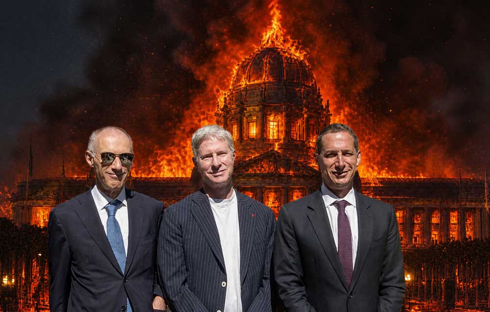
Mayor's Clueless New Years Fumble Signels Trouble
Madam Mayor parties down as City is deluged in "atmospheric river"
““We were under the impression (from the National Weather Service) that we could anticipate not even an inch of rain.”
— London Breed - Mayor San Francisco
•••••••••• January 11, 2023 ••••••••••
Mayor Breed — Meet Climate Change!
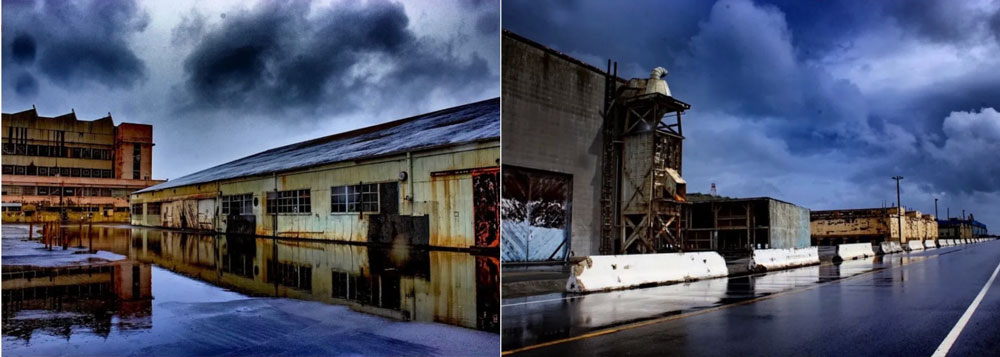
"Climate Change" made an unwelcome and unexpected visit to Room 200 in San Francisco's City Hall to bomb cyclone in the 2023 New Year. Mayor London Breed, who obviously does not watch CNN, the Weather Channel or NASA Earth Observatory's images of California from space, accused the National Weather Service of "misleading" city officials into a false sense of security ahead of the New Years Eve storm that dropped over 5.5 inches of rain, the second highest rainfall recorded in San Francisco history. Meteorologists attributed the New Years Eve storm to an atmospheric river. Atmospheric rivers are narrow channels capable of funneling huge amounts of moisture. According to the National Oceanic & Atmospheric Administration, an atmospheric river can transport 15 times more water than the mighty Mississippi.

Adorned in a feather boa and accompanied by a New Years' Eve entourage that included City Attorney David Chiu wrapped around her left arm, Breed's City Officials were obviously not dressed or prepared for the massive flooding NASA satellite images predicted would occur on December 16, 2022.
By New Years Day, two people had been found dead. Sixty food trucks were stranded, and a "moat" of flood waters encircled Folsom Street within blocks of Breed's City Hall "castle of climate change deniers".


NASA Aqua images of California taken from space on December 16, 2022, projected the extent of flooding from rainstorms in the 2023 New Year. The National Weather Service alerted the public on December 21, 2022, a significant rain event would bring high impacts and hazardous conditions."

"Meterologists aretracking a bomb cyclone - so named due to a rapid drop in pressure that brings strong winds and heavy rain - over the northern Pacific, which is expected to combine with an atmospheric river flowing into California."
For those with difficulty reading large print, Newsweek magazine - a national magazine with a circulation of over 2 million - reported on January 4, 2023… "The National Weather Service (NWS) issued a flood watch for San Francisco and northern California predicting between 2 to 4 inches of rain in the valleys and up to 10 inches in coastal mountain regions … NWS warned of multiple mud or landslides, swelling rivers and blocked roads." The twin threat of an atmospheric river and a bomb cyclone is expected to pound the San Francisco Bay Area Wednesday evening January 11, 2023.
Climate change is increasing flood risks in coastal cities across the US. Low-income shoreline communities face higher risks due to weak city investments in flood adaptation, and infrastructure. In January 2022, a team of academics created new flood maps predicting a 26% increase in damage in the next 30 years due to climate change alone. The new analysis accounts for flooding due to rainfall, rivers and sea level to project where flood risk rises fastest and estimated damage to the US in 2020 US dollars.
Present and future flood risk by county as measured in an average annual loss in millions of US$ and by percent increase.

The Bay Area faces an extraordinarily high risk that increases by 2050 because, despite the risk of devastating floods, people are still building in high-risk areas.

Sinking land will exacerbate flooding from sea level rise in the Bay Area.
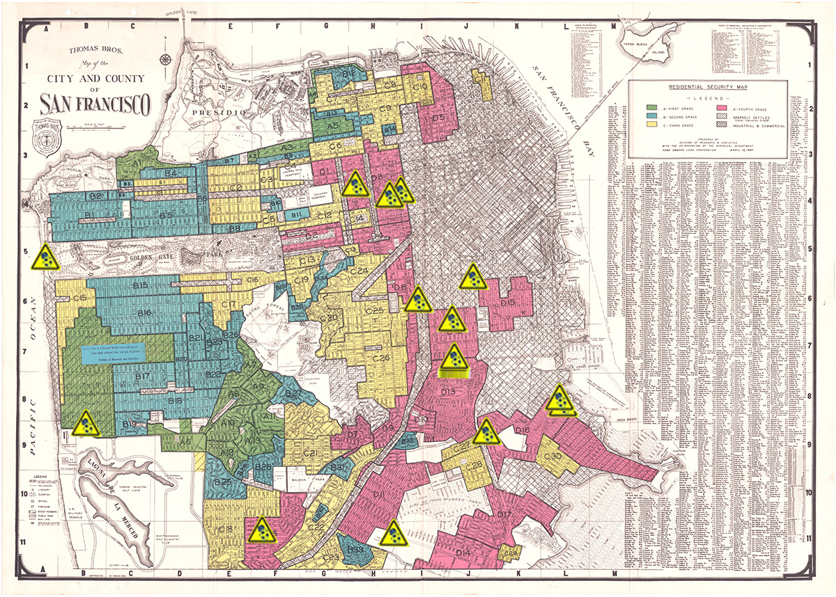
In 2018 UC Berkeley and Arizona State geologists mapped the waterfront areas impacted most by rising sea levels predicted to submerge San Francisco Bay coastal regions by the end of the century. They warn sinking landfill in places like Mission Bay, Treasure Island, the Hunters Point Shipyard, SFO and Foster City compound the risk of flooding damage.
The map created by the geologists defines regions of the San Francisco Bay shoreline at risk of flooding due to sea level rise in yellow. Red areas are those at highest risk due to the triple threat of sea level rise in regions designated landfill, liquefaction zone, and state and federal Superfund sites.
"We want to emphasize that potential sea level rise and groundwater rise are long-term concerns the Navy, the Regulatory Agencies, and the City are tracking. The community is not being exposed to contaminated groundwater and there is no immediate threat of such a condition." Office of the Mayor - London N Breed

Response to Superior Court Civil Grand Jury Report August 16, 2022
Mayor Breed was NOT prepared to face a climate disaster on New Years Eve 2023 because she appears to be a climate change denier! She makes this perfectly clear in her August 2022 response to the Superior Court Civil Grand Jury Report on sea level rise and the 100% risk of regional flooding of the toxic soup of contaminants documented to be present at the Hunters Point Naval Shipyard Federal Superfund system.
"The CERCLA (Superfund) process … is designed to be iterative, incorporate new findings and identify future risks, such as sea level rise and associated groundwater rise, all with enough notice to make necessary changes to protect public health and the environment … the Navy is obligated to examine it's proposed remediation strategies every five years." London N Breed - Mayor
Response to Civil Grand Jury Report August 16, 2022
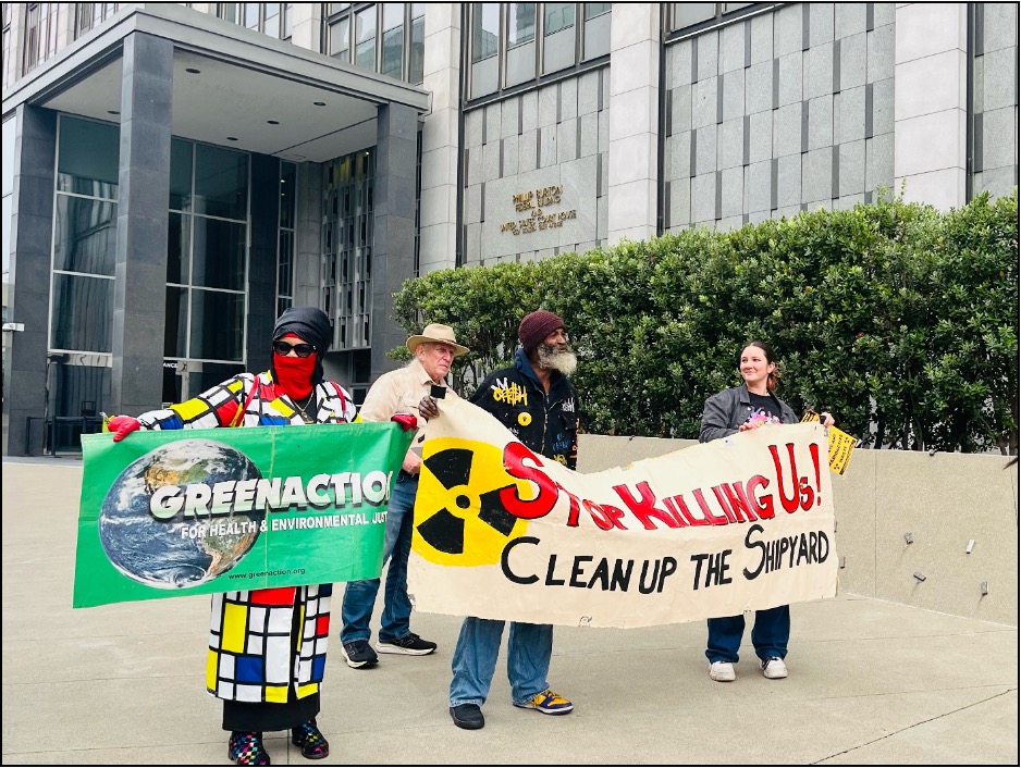
Hunters Point Community Toxic Registry

The December 15, 2022 update of the HP Biomonitoring's geospatial mapping of radioactive biomarkers detected in residents and workers within the one-mile perimeter of the Federal Superfund system at the Hunters Point Naval Shipyard, Parcel E-2 Industrial landfill, shoreline and Yosemite Slough. Clusters of radioactive elements - uranium, cesium, strontium, thallium, and cadmium - track west along the Palou Avenue corridor to the Naval Radiological Defense Laboratory complex and south adjacent to the radiation-contaminated Parcel E-2 landfill. Radioactive biomarkers detected in residents on the northern Hunters Point hilltop are filling in.
In 2022 internationally recognized environmental toxicologist James Dahlgren MD conducted 24-hour speciated urinary biomonitoring screenings that detected products of nuclear fission specific to the Hunters Point Naval Shipyard, including man-made radioisotopes of plutonium, uranium and radioactive potassium.
San Francisco Public Press - Experts Weigh in On Sea Level Rise

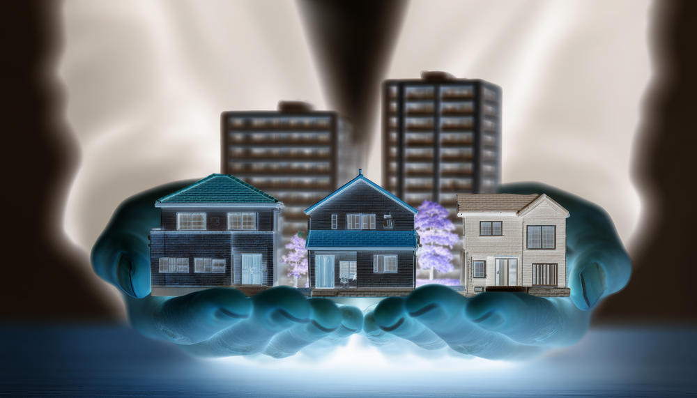
In the Summer of 2015, San Francisco Public Press released Sea Level Rise: First in a Series. A 'clarion call" of scientific projections that sea level rise will drive extreme storms and floodwaters 8 feet above high tide. The authors spotlight the Bay Area's waterfront "building frenzy" and the estimated $21 billion in housing and commercial construction in low-lying areas climate scientists say will flood by the end of the century.

"The ground goes down, sea level comes up and flood waters go much farther inland than either change would produce by itself." Manoochehr Shirzaei - Member - NASA Sea Level Change Planning

Mother Jones - July 29, 2015 -Map created by Amanda Hickman of projected sea level rise based on the US Geological Survey and San Francisco Public Utilities Commission.
In 2015 the SFPUC predicted water levels in the Bay Area will rise as high as 8 feet over high tide at current levels including storm surges.
In the July 29, 2015 San Francisco Public Press article, Bay Area Governments Study Sea Level Rise, but Few Set Limits on Development, Emily Dugdale analyzes findings from SF Public Press’ survey of 13 Bay Area cities and counties "where building projects are planned in waterfront areas vulnerable to sea level rise. While most are studying the issue, few have passed regulations to limit growth or require developers to foolproof their properties."
"The results show a huge gap between awareness of the threats of climate change and concrete action to protect vulnerable waterfront communities in coming decades."
Emily Dugdale - San Francisco Public Press 07/29/2015


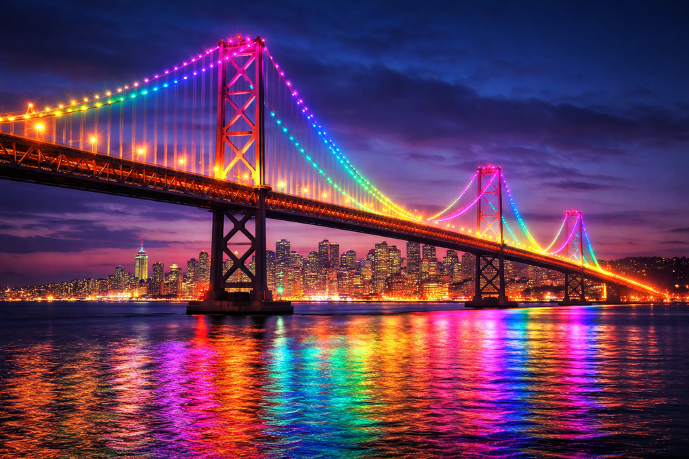
New Years Eve - 2014, photographer Toby Harriman captured frame after frame of the Embarcadero New Years Eve firework display. The Time-Lapse film is on Vimeo at Toby Harriman Aerial Photography.
"San Francisco's waterfront is very sensitive to flood thresholds, with significant consequences. We now have predicted coastal flood damages for all buildings and major infrastructure exposed by Seawall "overtopping," along with the first flood mapping of the City to include wave action, an important contributor to flooding. There is a critical tipping point between 2-3 feet of sea level rise where flood damages begin to rise significantly along the San Francisco waterfront.
Embarcadero Seawall Earthquake Safety Bond Quarterly Report

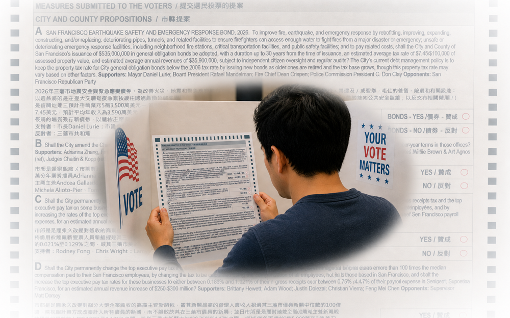
On November 6, 2018, San Francisco voters passed Proposition A with 82.7% approval. The measure authorized a $425 million general obligation bond to support the Seawall Earthquake Safety and Disaster Prevention Program. In June 2020, the City issued $49.7 million in bonds to support management, planning and overall program development and preliminary design of Phase 1 projects of the Embarcadero Seawall Program. Full build-out is expected by 2026.
Embarcadero Seawall Program/SF port.

The Weather Prediction Center reports most of California will experience significant flooding this week due to the "longevity and intensity of rain combined with the cumulative effect of successive heavy rain events dating back to the end of December, will lead to widespread and potentially significant flood impacts".

It comes as good news only for Southern California surfers as the perfect storm of bomb cyclone and atmospheric river are expected to deliver the largest westerly swell in over 15 years by Thursday afternoon.
Dr. Ahimsa Sumchai is a climate activist living on the Westside.
January 2023