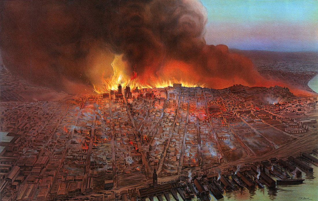
San Francisco. In Alameda? Wait, what?
• • • • • • • • • • Janyary 2024 • • • • • • • • • •
Ilived in Washington, D.C. for a few years, and during that time, The Post ran an article explaining that Washington and the District (to most people's surprise) are not exactly the same place. As I recall, a short stretch of river bank was somehow included in D.C. but not in Washington. It wasn't important news—no one was building on the land—it was just an interesting oversight in geography and cartography..
Last year, during the redrawing of our legislative districts, I noticed a similar quirk in our city's boundary: part of San Francisco is technically in the East Bay. You can't say it's in the city or county of Alameda because it is officially still part of the City and County of San Francisco! They cannot overlap. But it is in the East Bay.
How did that happen? The first thing to know is that the city's boundary is not along the Embarcadero or Crissy Field. It's out in the bay, and not even in the middle. It's pretty close to Alameda and Marin counties. Apparently, our city's founders made sure we had the rights to most of the bay, for whatever it's worth. That's probably why we had so much say in the design of the Bay Bridge's eastern span.

...when the runways for the Alameda Naval Air Station were extended out into the bay—using dredged bay fill, the same way Treasure Island was created—they crossed over the city line. The work was being done by the federal government and apparently they didn't know or care.”
According to Alameda historian Richard Bangert, who has an informative website, when the runways for the Alameda Naval Air Station were extended out into the bay—using dredged bay fill, the same way Treasure Island was created—they crossed over the city line. The work was being done by the federal government and apparently they didn't know or care. So, if you travel to the southwest corner of the former naval air station, you'll actually be standing in the City and County of San Francisco. The area has been renamed Alameda Point – but maybe not all of it. San Francisco should decide what that small triangle of its own land is called. (I think Point Osgood has a nice ring to it. Named for my 49er ancestor of course.)

Does it matter? I'm not sure. It could. Apparently city hall doesn't think so. According to Mr. Bangert, Alameda officials contacted the City of San Francisco and asked if we wanted our territory back. After all, it is prime waterfront land. City Hall just shrugged.
But if you look at a satellite view of the area, you'll see it appears to be a wetland. They never paved that area. Like many areas transitioned from the Navy, the area was terribly polluted with nasty chemicals. They say the area was cleaned up—way before we cleaned up Hunters Point—but who knows? If it turns out to still be polluted, I'm sure Alameda would make sure everyone knows it's not their toxic land.
Mr. Bangert says state and local officials don't have jurisdiction, even though it's within San Francisco's city limits, because it's still federal land. Otherwise, because it's in the same federal census tract as Treasure Island and YBI, it would be represented by the District Six supervisor.
The two members of the state assembly who represent eastern San Francisco and western Alameda have very detailed and official looking maps on their websites. Both show the triangle cut off as if it's represented by the Alameda assembly member. Does she really represent part of San Francisco? Hmmm. That would also mean they divided a federal census tract between two assembly districts (the triangle is in the same census tract as Yerba Buena and Treasure Island). I re-drew a district for an assemblyman years ago, and dividing census tracts was considered a no-no. Maybe their website maps are wrong. Anyway, I'm not gonna bother them by asking.

More information is available at:
https://AlamedaPointInfo.com
David Osgood is a native of Santa Cruz and has lived on the Embarcadero for over 30 years. He worked as a lobbyist for a tech firm and became politically active working for Rep. Leon Panetta. His great-great-grandfather was a 49er. Contact Dave.
January 2024